Ground-breaking GNSS System – Innovative integration of vision and surveying
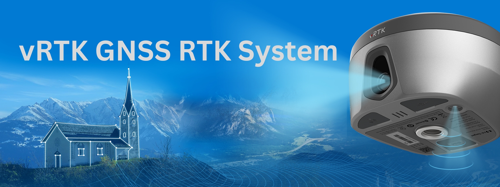


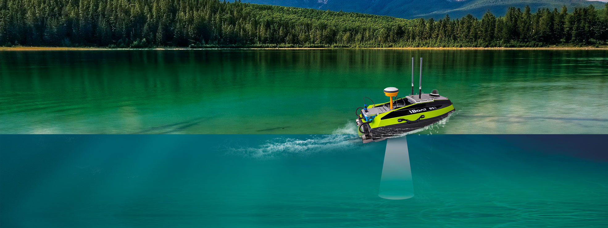
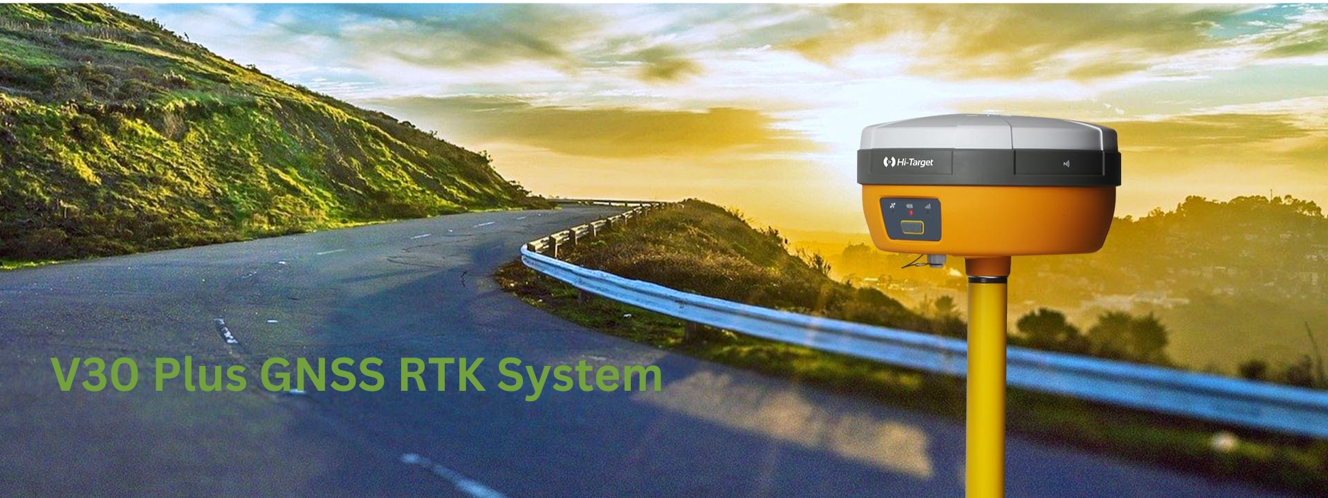
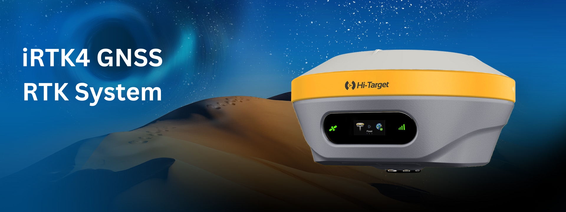
our products
V500 GNSS RTK System
Visual positioning technology, easy-to-find stakeout points, improve measurement efficiency!
Industries

Surveying & Engineering
Position and coordinates of things and objects have always been concerned and playing an important and elementary role in society. Professional stable and accurate instruments and solutions are strongly needed from the geodetic survey, land survey, topographic survey, city survey, pipe and route survey, and civil engineering. Hi-Target provides the scalable products and solutions for different users’ with the most effective and reliable technology and performance.

Geographic Information System
A geographic information system(GIS) is a framework for gathering, managing and analyzing the data that comes in many types. It analyzes the spatial location and finally giving the intuitive visual view about the topics and helping human to make better decision and management for the society.
3D Scanning & Aerial Mapping
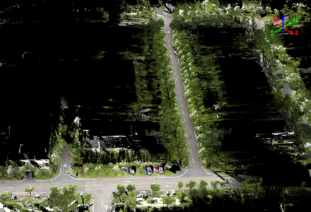
Has progressed hugely in the last few years, the simple-to-use, highly accurate 3D laser scanning and aerial mapping solutions complete scans of a wide variety of environments with exceptional speed, rendering detail with centimeter precision. On applications of the photogrammetry, terrain acquisition, modeling or any photorealistic scans of buildings, structures, open spaces, and other natural or engineered environments, the Hi-Target turn-key solutions guarantee our valued users an efficient alternative to traditional survey work where a large amount of detail is required.
Global Correction Service
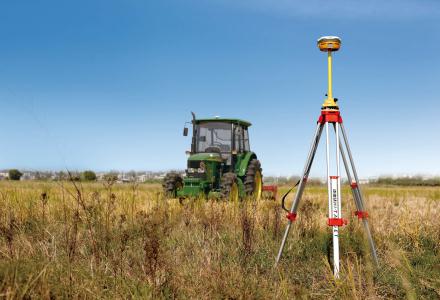
Hi-Target Hi-RTP uses a global network of multi-GNSS reference stations and advanced algorithms to generate highly precise GNSS satellite orbit, biases ,clock and other system parameters. This information allows Hi-RTP to provide correction services with sub-metre or centimetre-level positioning accuracy to receivers. Corrections are transmitted in real-time, with minimal latency, via L-band satellites and Internet broadcast worldwide.
Monitoring
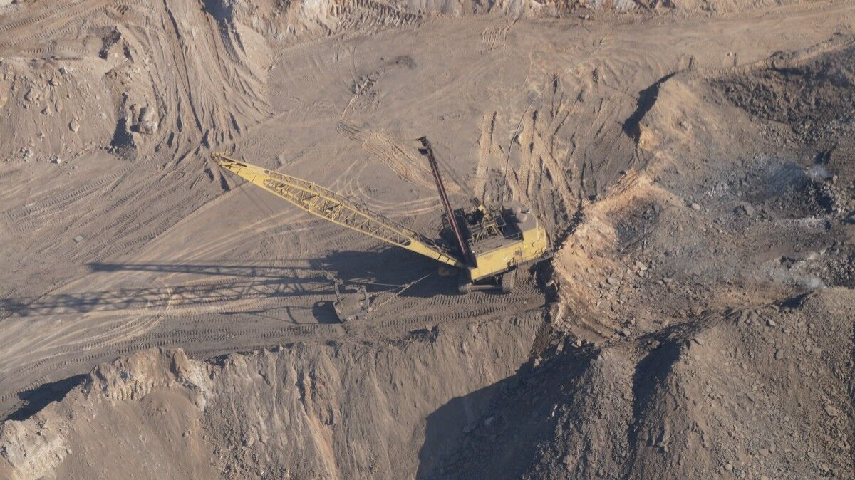
Nowadays, infrastructure construction is becoming increasingly complex and its impact on the environment has raised as well. Therefore, automatic monitoring has become particularly important. The automatic monitoring system is one of the most effective ways to ensure the safety of human beings and the environment since it can provide warning information for hazards such as natural disasters, building and structure
