

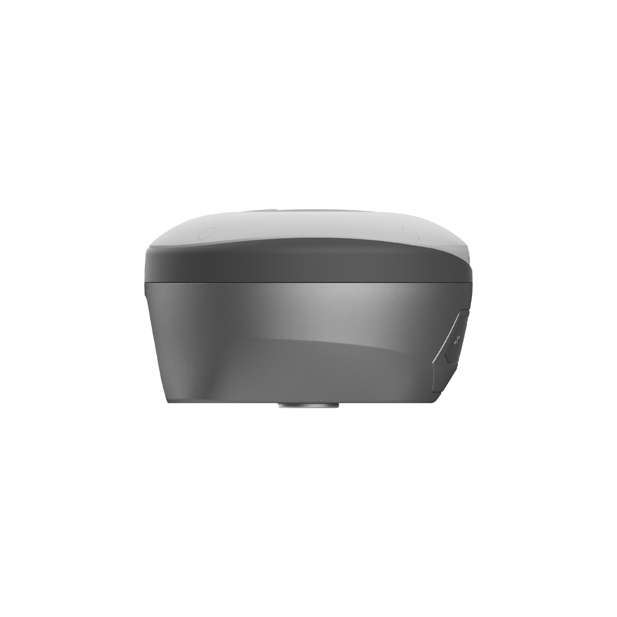


Description

vRTK
GNSS RTK System
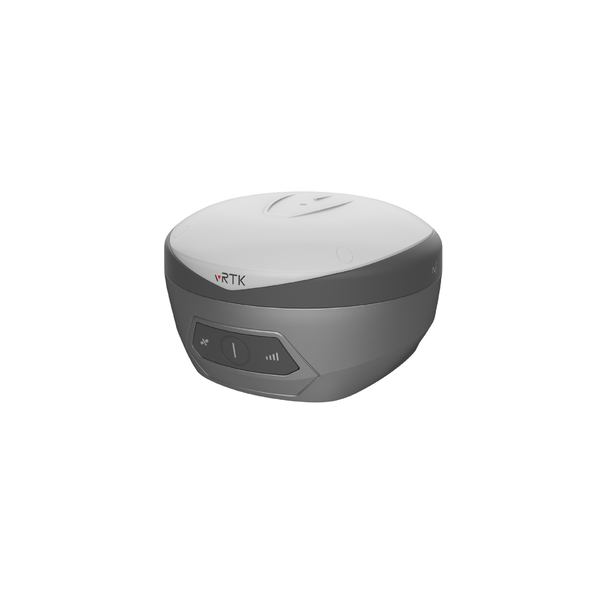
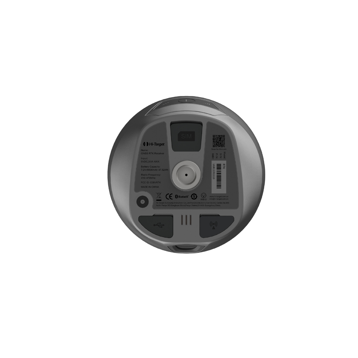
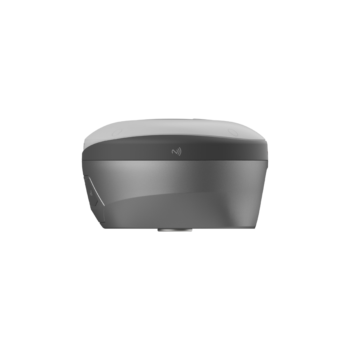
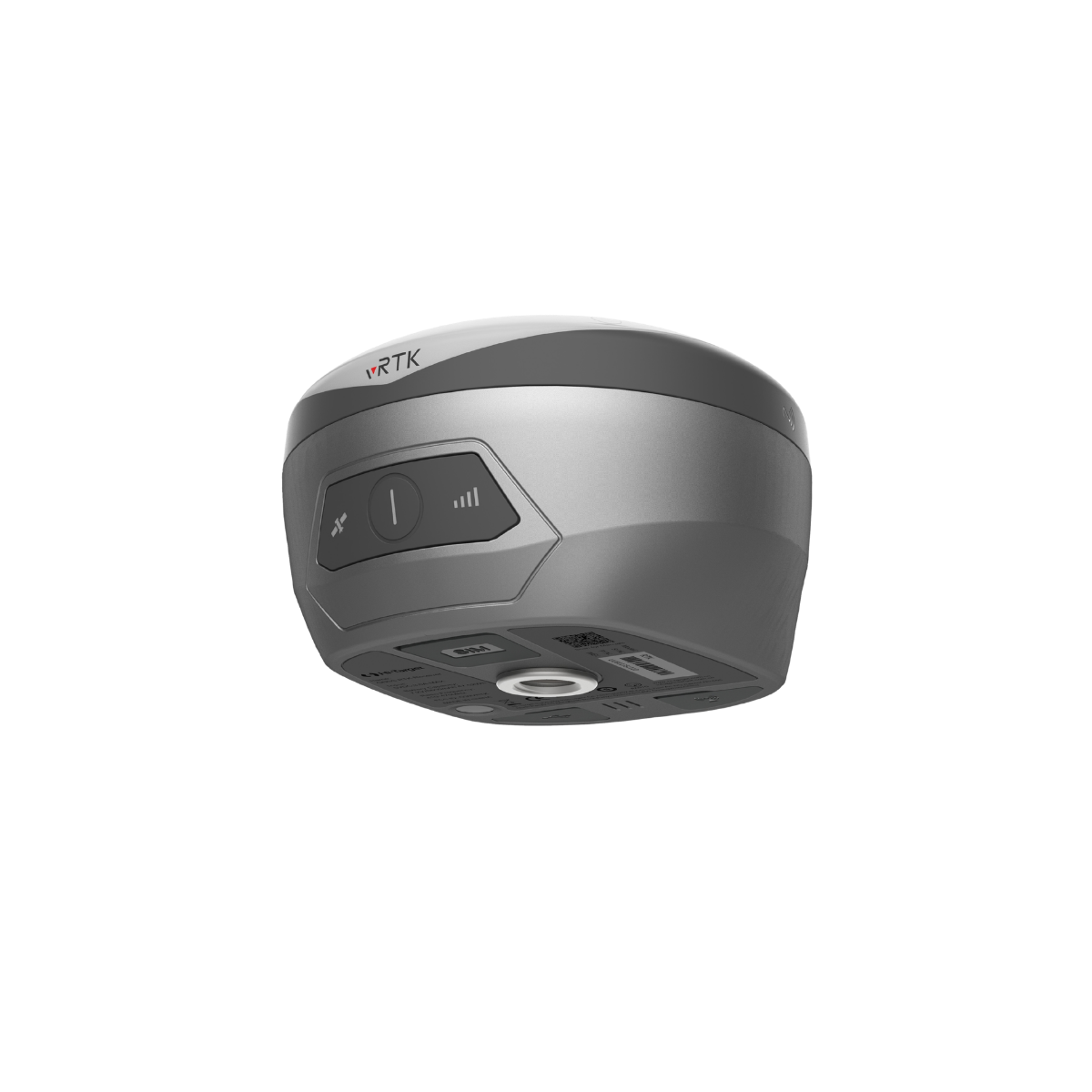
vRTK GNSS RTK System
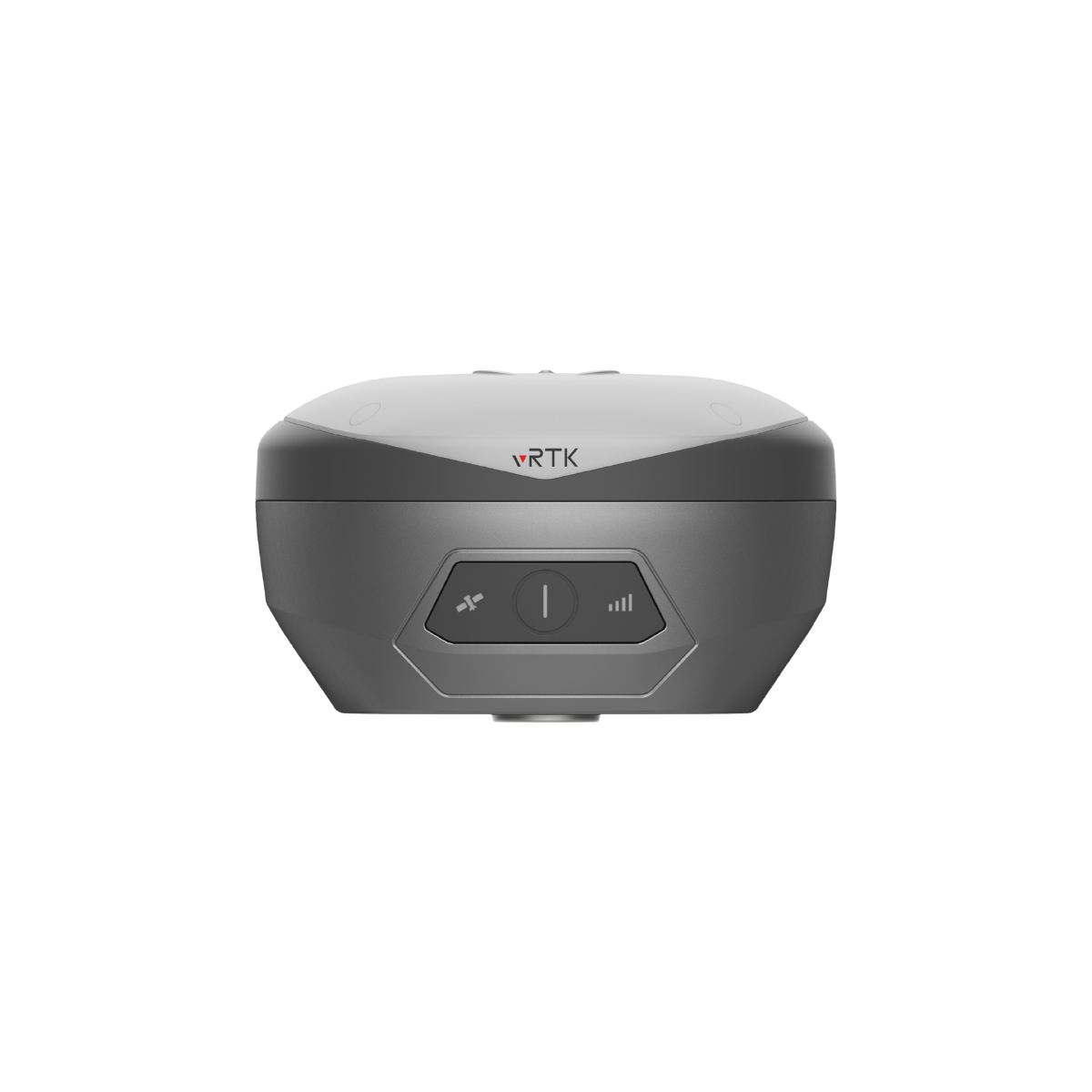
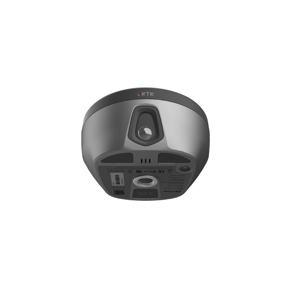
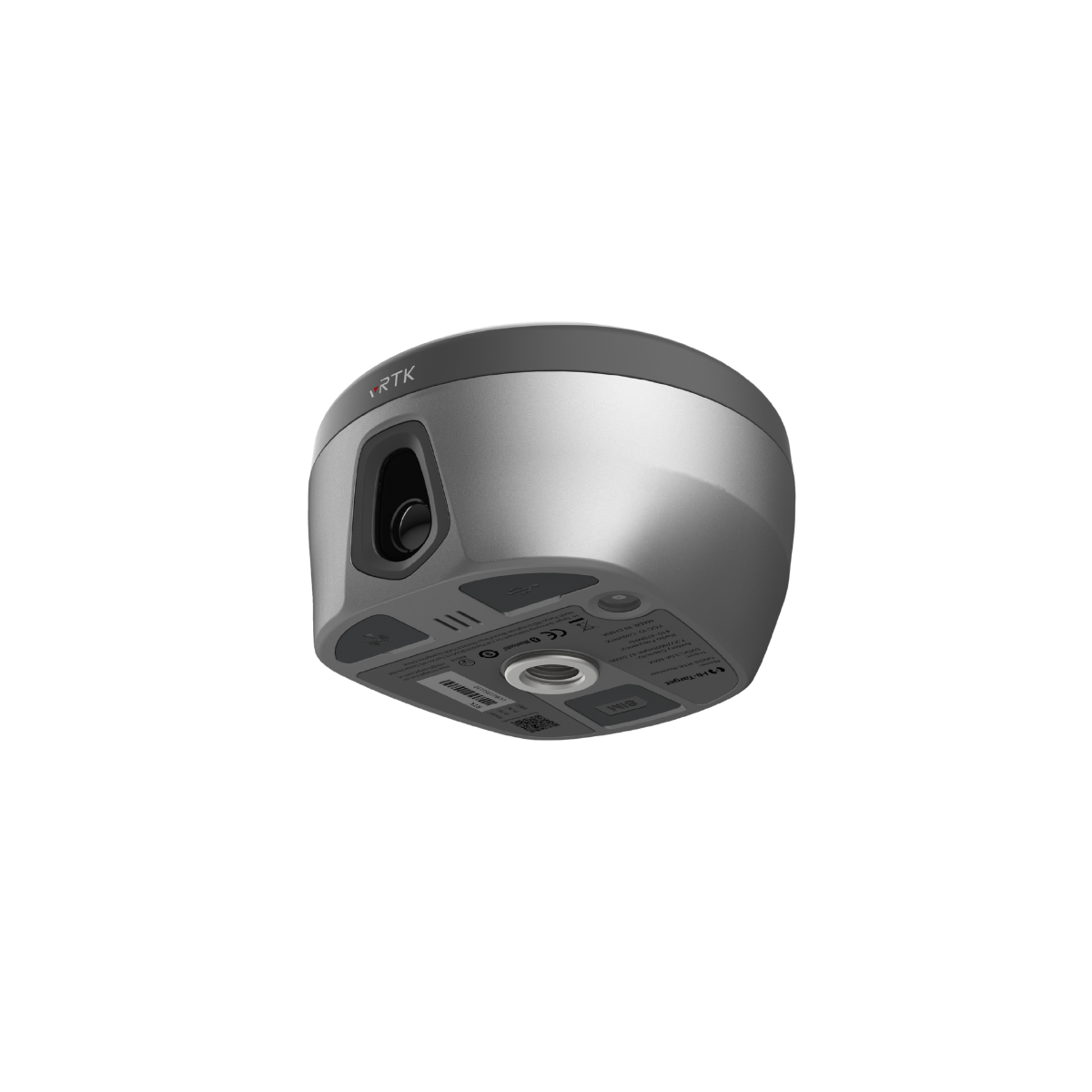
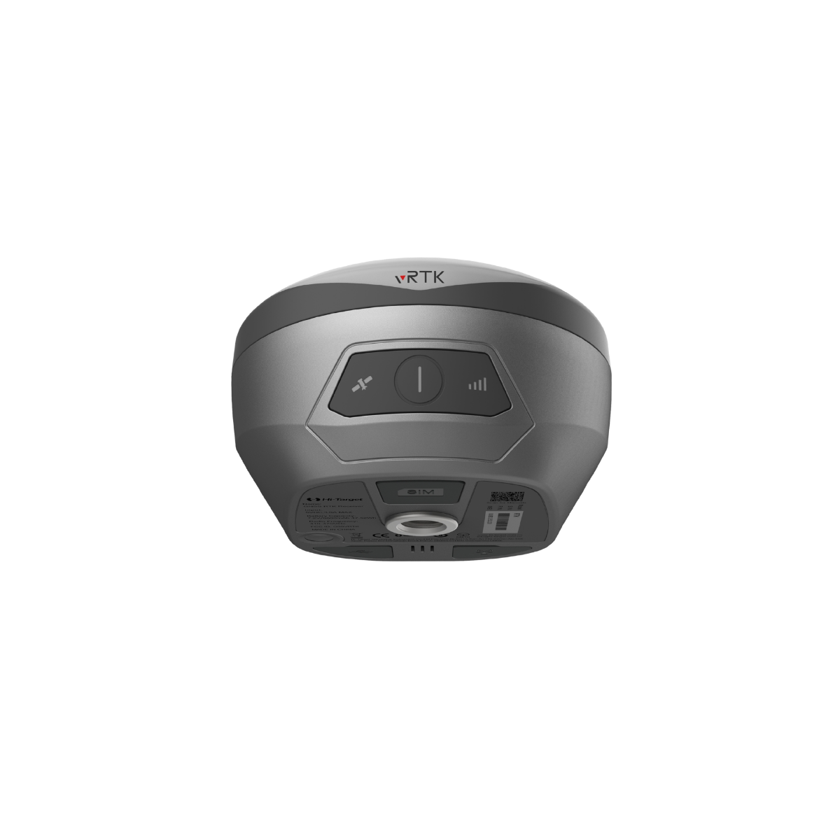
Equipped with professional dual cameras, the vRTK is Hi-Target’s first lightweight visual RTK receiver developed for advanced image-assisted surveying. It supports non-contact image measurements, allowing surveyors to capture points remotely and overcome many of the limitations associated with traditional field methods. The Live View Stakeout feature further increases efficiency by providing real-time visual guidance during layout tasks, helping engineering teams perform stakeout operations faster and with greater productivity.

Dual Cameras for Image Survey and Live View Stakeout
Integrated dual cameras support image-based surveying and Live View Stakeout, enabling non-contact measurements directly from visual observations. This capability extends the practical working range of GNSS while allowing surveyors to perform field operations more efficiently and safely.

Strong Signal Reception and High-Quality Data Performance
– Equipped with a new generation GNSS SoC chip featuring 1408/1760 channels, supporting the latest frequency signals including B1C, B2a, and B2b for Beidou-3 RTK decoding.
– Advanced multi-frequency anti-interference technology combined with multi-step adaptive filtering ensures stable signal tracking, reliable data quality, rapid RTK initialization, and high-precision positioning results.

Extensive Industry Data Outputs
– Multiple types of data outputs are available to support the requirements of various industry applications.
– Compatible with mainstream modeling software, enabling efficient generation of point cloud data and 3D models in a streamlined workflow.
Detailed Specifications
| 8mm + 0.7mm/° tilt Tilt Survey Accuracy | 1408 / 1760 Channels |
| BDS / GPS / GLONASS / GALILEO / QZSS / NavIC / SBAS Signal Tracking | 2 cm Image Stakeout Accuracy |
| 2 cm ~ 4 cm Image Survey Accuracy | Built-in 8GB ROM Data Storage |


