Description

Cygnus Lite Handheld SLAM Scanner
Cygnus Lite is a lightweight handheld SLAM scanner engineered for efficient 3D scanning and point cloud data collection in real-world environments. Weighing only 1 kg, it enables extended operation with reduced fatigue, making it ideal for long-duration scanning tasks across construction sites, indoor spaces, and infrastructure projects.
Its compact and ergonomic design ensures comfortable handling and smooth maneuverability, allowing accurate data capture in confined or hard-to-reach areas where traditional scanning systems are difficult to use.

Optimized Scanning Coverage with Compact Tilt Design
Cygnus Lite features a compact scanning head designed to maximize coverage during handheld operation. The optimized tilt angle enhances scanning efficiency by capturing a wider field of data in a single pass, reducing the need for repeated scans.
This design minimizes data gaps and missing areas, ensuring more complete and reliable point cloud results, especially in complex environments and confined spaces where coverage consistency is critical.
Integrated RTK Module for Reliable Positioning
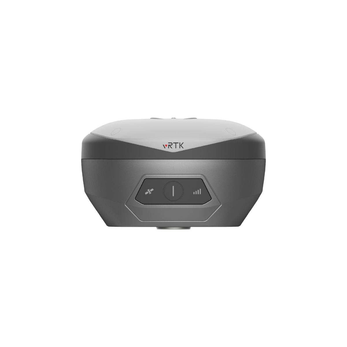
Cygnus Lite features a built-in RTK module that enhances positioning accuracy by combining RTK and SLAM technologies. This integration provides stable and reliable spatial data, improving overall mapping precision in both indoor and outdoor environments.
The system supports real-time correction through CORS networks via mobile connectivity, enabling consistent and accurate positioning during data capture. This ensures dependable results for surveying, mapping, and infrastructure workflows where precision is critical.

Dual HD Cameras for Realistic 3D Reconstruction
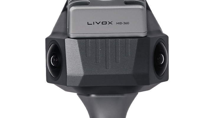
Cygnus Lite is equipped with dual 12 MP HD cameras that capture high-quality imagery for real-time point cloud colorization. This enables the generation of detailed and visually accurate 3D models, improving interpretation and analysis of scanned environments.
The dual-camera setup provides full field-of-view coverage, ensuring consistent image capture from multiple angles. This enhances data completeness and supports realistic reconstruction for applications such as indoor mapping, facility documentation, and digital twin creation.
Mobile and PC Software


- Connect to CORS before scanning or collect GCP during the collection.
- Real-time rendering in colorized, elevation, and intensity.


- Batch project processing supported.
- Coordinate system & projection supported*.
- Photo & point cloud overlay for detailed survey.
Applications
- Volume Measurement
- Scan to BIM
- Indoor Mapping
- 3D Reconstruction