

Geospatial Surveying Solutions
Accurate Data Capture, Mapping & Positioning with GNSS and GIS Technologies
Enhance Your Projects with Advanced Geospatial Surveying Solutions
From geodetic surveys and BIM workflows to urban planning and heritage preservation, modern projects rely on accurate and efficient geospatial data. Capturing, processing, and managing spatial information with precision is essential for delivering reliable results across complex environments.
UGIL provides advanced geospatial solutions powered by Hi-Target technologies, enabling seamless data collection, processing, and integration. With high-precision GNSS positioning, GIS data capture, and mobile mapping capabilities, these solutions simplify workflows, improve data accuracy, and support better decision-making across infrastructure and mapping projects.

Surveying & Engineering with High-Precision GNSS Positioning
Accurate positional data is fundamental for surveying and engineering projects, where precision directly impacts planning, design, and execution. From infrastructure development to land surveying and construction workflows, reliable coordinate data is essential for achieving consistent and accurate results.
UGIL delivers advanced surveying solutions powered by Hi-Target technologies, combining high-precision GNSS receivers, professional surveying instruments, and integrated field workflows. These systems provide stable positioning, fast data acquisition, and dependable performance across a wide range of engineering and geospatial applications.
Designed for real-world conditions, these solutions enhance survey efficiency, reduce field time, and support accurate project delivery in demanding environments across Saudi Arabia.
Geographic Information Systems (GIS) for Smart Data Collection and Analysis
Geographic Information Systems (GIS) play a critical role in collecting, managing, and analyzing spatial data to support informed decision-making. From asset mapping and land management to infrastructure planning, GIS enables users to visualize complex data through intuitive and actionable insights.
UGIL provides advanced GIS data collection solutions powered by Hi-Target technologies, combining field-ready devices with efficient software workflows. These systems enable seamless capture of coordinates, images, and field data, ensuring accurate data recording and real-time integration for faster processing and analysis.
Designed for efficiency and reliability, GIS solutions support a wide range of applications, including utility mapping, urban planning, environmental monitoring, and asset management across Saudi Arabia.


3D Scanning & Aerial Mapping for High-Accuracy Geospatial Data
Advanced 3D scanning and aerial mapping technologies enable fast and accurate capture of complex environments, supporting detailed geospatial analysis and digital modeling. From terrain mapping to infrastructure inspection, high-resolution data collection is essential for modern surveying workflows.
UGIL provides complete 3D mapping solutions powered by Hi-Target technologies, combining high-precision scanning systems and aerial data capture tools. These solutions deliver centimeter-level accuracy, allowing users to efficiently collect, process, and visualize large-scale geospatial data across diverse environments.
Designed for speed, accuracy, and ease of use, these systems support applications such as topographic mapping, land surveying, construction monitoring, and environmental analysis across Saudi Arabia.
Global GNSS Correction Services for High-Precision Positioning
High-precision positioning is essential for accurate geospatial data collection, especially in large-scale and complex surveying environments. Reliable correction services play a critical role in improving positioning accuracy and ensuring consistent results across different locations.
UGIL provides advanced GNSS correction solutions powered by Hi-Target Hi-RTP technology, utilizing global multi-constellation GNSS networks and advanced processing algorithms. These services deliver sub-meter to centimeter-level positioning accuracy in real time, supporting reliable data acquisition without the need for local base stations.
With seamless delivery via L-band satellites and internet connectivity, correction data is transmitted with low latency, ensuring stable and continuous positioning performance for surveying, mapping, and GIS applications across Saudi Arabia.


Land Surveying and Mapping for Infrastructure and Agriculture Projects
Accurate land surveying and mapping are essential for infrastructure development, agriculture planning, and large-scale project execution. Reliable positioning and measurement data ensure precise analysis, efficient planning, and successful project outcomes across diverse environments.
UGIL provides scalable surveying and engineering solutions powered by Hi-Target technologies, including high-performance GNSS receivers and advanced total station systems. These technologies deliver stable positioning, accurate angle and distance measurements, and efficient field workflows for a wide range of applications.
Designed for real-world conditions, these solutions support land surveying, agricultural mapping, and infrastructure development projects, ensuring high accuracy and improved productivity across Saudi Arabia.
Infrastructure Monitoring and Geospatial Analysis for Smart Decision-Making
As infrastructure projects become larger and more complex, continuous monitoring is essential to ensure safety, performance, and long-term sustainability. Accurate geospatial data plays a critical role in detecting changes, assessing risks, and enabling early warning systems.
UGIL provides advanced monitoring solutions powered by Hi-Target technologies, integrating high-precision GNSS positioning and intelligent data processing systems. These solutions enable real-time monitoring of structural movement, environmental changes, and site conditions, supporting proactive decision-making and risk mitigation.
Designed for demanding environments, these systems are ideal for infrastructure monitoring, construction projects, and environmental analysis across Saudi Arabia, ensuring reliable performance and improved operational control.
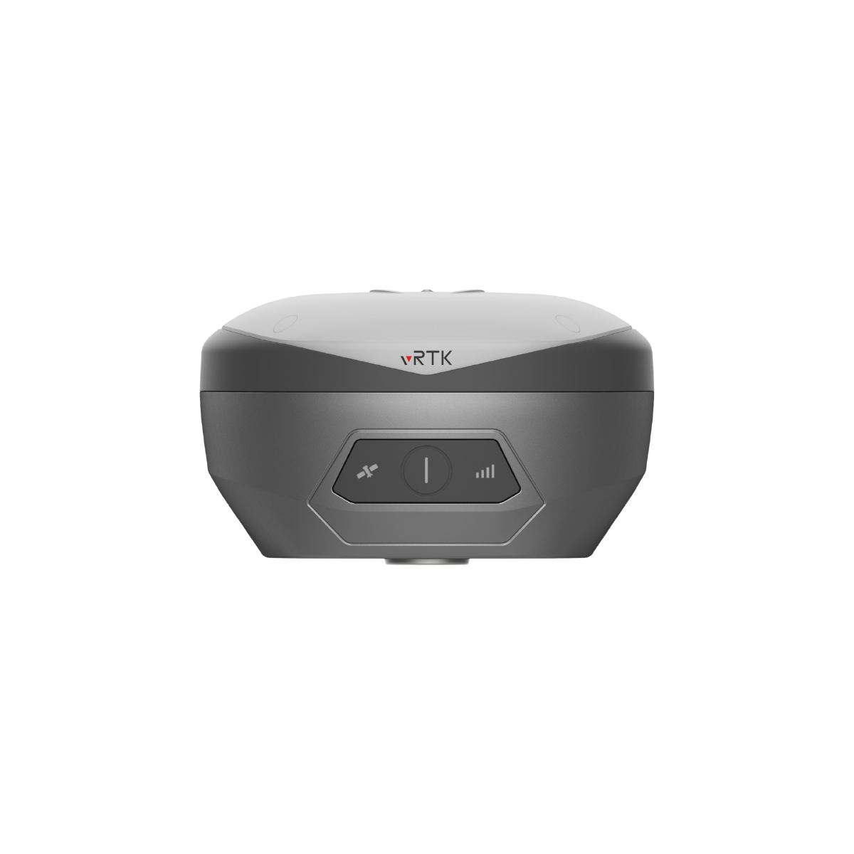
Explore high-performance GNSS RTK systems and field controllers designed for accurate positioning, efficient data collection, and advanced geospatial workflows. These solutions support surveying, mapping, and engineering projects with speed and precision.
Recommended GNSS RTK and Geospatial Surveying Solutions


Geospatial Surveying FAQs
What are geospatial surveying solutions?
Geospatial surveying solutions combine GNSS, GIS, and mapping technologies to capture, process, and analyze spatial data for engineering, construction, and infrastructure projects.
What is GNSS RTK and how does it work?
GNSS RTK (Real-Time Kinematic) provides centimeter-level positioning accuracy by using satellite signals and correction data, enabling precise real-time surveying and mapping.
Which equipment is used in geospatial surveying?
Common equipment includes GNSS RTK receivers, handheld controllers, GIS data collectors, and 3D mapping systems.
What is the difference between GIS and GNSS?
GNSS is used to collect accurate location data, while GIS is used to manage, analyze, and visualize that data for decision-making.
What industries use geospatial surveying solutions?
Geospatial solutions are widely used in construction, infrastructure development, land surveying, urban planning, agriculture, and environmental monitoring.
How accurate are GNSS RTK systems?
Modern GNSS RTK systems provide centimeter-level accuracy, even in complex environments, when supported by correction services.
What is a handheld controller in surveying?
A handheld controller is used to operate surveying equipment, collect field data, and manage workflows directly on-site.
Can geospatial solutions improve project efficiency?
Yes, they significantly improve efficiency by enabling faster data collection, real-time positioning, and accurate decision-making.
Start Your Geospatial Surveying Project with Confidence
Get expert guidance and the right GNSS RTK and mapping solution tailored to your project needs.