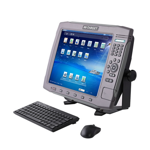
HD-MAX dual-frequency echo sounder is universal in sediment measurement for dredging and other water depth measurement projects in shallow water, deep water and sandy water. The full-featured Hi-MAX Sounder hydrographic software integrates bathymetry, navigation, and post-processing. Equipped with the 17’’ large screen and industrial computer platform, HD-MAX offers a set of reliable solution for hydrographic offices around the world along with a robust dual-frequency transducer and a user-friendly survey pole.
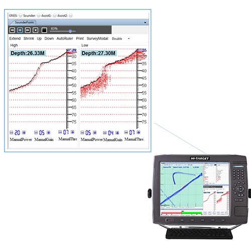
The Combination of High and Low Frequency
HD-MAX features the simultaneous operation of both high and low frequencies at the same time, making it superior in both shallow and deep water.
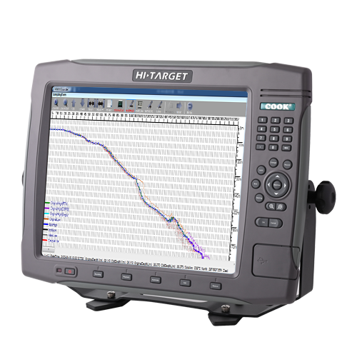
The Full-Featured Hi-MAX Sounder Software
The powerful Hi-MAX Sounder displays, processes, and exports dual frequency data, supporting access to standard NMEA data from any receiver to provide accurate GNSS coordinates for the bathymetry data.
Rugged Industrial Platform
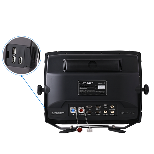
HD-MAX is designed with an enhanced computer platform, and has excellent performance in terms of stability and anti-interference, and compliant with EN 60945. 3 RS-232, 4 USB ports and 1 VGA to meet data transfer needs.
Digitized Results Correction with Echogram Overlaying
Correct the faulty digitized results based on the overlaid echogram to ensure the reliability of depth result especially in complex scenario.
Product Parameters
Frequency
High:200kHz Low:24kHz
Accuracy
0.01m/0.1 ft.+/-0.1% of depth@200kHz
0.10m/0.30 ft.+/-0.1% of depth@24kHz
Interfaces
RS-232*3, USB*4, Power Port*1, Transducer Port*1, VGA*1